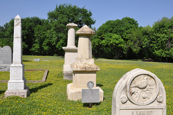
John "Jack" Coker
San Antonio
Bexar County, Texas
29 33.361' N 98 29.569' W
Directions: Start at the intersection of West Avenue and North Loop Road. Go .4 miles east on North Loop Road. The Coker Cemetery is on the left (north) side of the road. The marker is in the north part of the cemetery
Text: (May 10, 1789-Jan. 4, 1861) Came from South Carolina to Texas in 1834. Served in Battle of San Jacinto in Texas War for Independence, 1836. Was one of a party with quot;Deafquot; Smith that destroyed Vince's Bridge near Pasadena. This deed may have kept Santa Anna's army from retreat or reinforcement, thus insuring Texas victory. In recognition, the Legislature of Texas awarded to Coker 1,920 acres, where he and his brother Joseph founded Coker community.