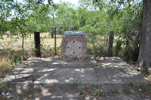
Goliad County
Goliadbr/ Goliad County, Texasbr/ 28 38.732prime; N 97 26.406prime; Wbr/ Directions: Start at the intersection of Fannin Street and SH-59. Go 1.9 miles south on SH-50. The marker is on the right (west) side of the highway.br/ br/ Text: First known to Spanish settlers as Nuestra Senora de Loreto, later called La Bahia del Espiritu Santo. Established as a mission in 1749. Became a strategic fort under Spanish, Mexican, Texas occupancy, 1810 - 1821, 1835 - 1836. Name changed to Goliad and created a Mexican municipality in 1829. Scene of massacre of Fannin and his command in 1836. Organized as a county, 1836, with town of Goliad as the county seat. Home of Confederate General Hamilton P. Bee. From population of 3,384 county sent several army companies to the Civil War.