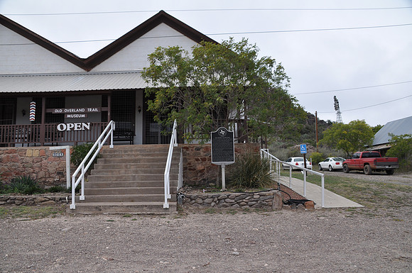
San Antonio-El Paso Road
Fort Davisbr/Jeff Davis County, Texasbr/30 35.634' N 103 53.540' W Directions: Start at the intersection Fort Street and 3rd Street. The marker is on the northwest corner of the intersection.br/ br/Text: Westward expeditions opened trails from San Antonio to El Paso in the late 1840s. Two routes, called the upper and lower roads, converged at the Pecos River to traverse the Davis Mountains. Henry Skillman (1814-1864) began a courier service along the road in 1850 and was awarded a U. S. Government contract to carry the mail. He formed a partnership with George H. Giddings (1823-1902) in 1854, and they established relay stations along the route, including one at the new U. S. Army Post at Fort Davis. During the Civil War, control of the area passed to the Confederates, and Giddings continued mail service for the new government. By 1867 Fort Davis was occupied by four companies of the 9th U. S. Cavalry. After Federal reoccupation, stage and courier routes were more frequently utilized, with travelers often accompanied by Army escorts from Fort Davis and other posts. After the arrival of railroads in West Texas in the 1880s, use of overland roads declined sharply, though the trails did provide access to new settlers and were still used by the army as links between forts. Vestiges of the Old San Antonio-El Paso Overland Road can still be seen in Fort Davis and surrounding areas.