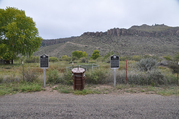
Barry Scobee Mountain
Fort Davisbr/ Jeff Davis County, Texasbr/ 30 36.585' N 103 52.733' Wbr/ Directions: Start at the intersection Espy Place and SH-17. The marker is on the west side of the intersection.br/ br/ Text: (6300 ft. elev.) Camp grounds and lookout post (1850s-1880s) for military, mail coaches, freighters, travelers, emigrants. Site of area's last Indian raid, 1881. Part of John G. Prude Ranch. Named by Gov. John Connally Dec. 21, 1964, to honor Barry Scobee whose efforts were largely responsible for the preservation of old Fort Davis. He was born, 1885, in Missouri. Served in U. S. Army in Philippines and later on merchant ship in World War II. Was editor, reporter, printer, publisher. Came to Fort Davis in 1917 and became an authority and writer on Trans-Pecos history. (Fort Davis Historical society).