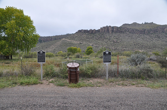
Granado Mountain
Fort Davisbr/Jeff Davis County, Texasbr/30 36.585' N 103 52.733' Wbr/Directions: Start at the intersection Espy Place and SH-17. The marker is on the west side of the intersection.br/ br/Text: The 6,076-foot high peak traditionally known as Granado Mountain or La Granada was named for Trinidad Granado (1868-1958), a rancher whose ranch was at the base of the mountain. The original owner was Belgian-born founding settler Anton Diedrick Dutchover who acquired the tract and mountain from the State of Texas in 1876. Dutchover served with Texas troops in the Mexican War and was employed at Fort Davis as a civilian stock herder. Trinidad Granado married Dutchover's third daughter, Dorothea (1872-1943), in 1890 and created the ranch on land he purchased in 1910, six years after Dutchover's death. In 1964, Governor John Connally, through a gubernatorial proclamation, renamed the mountain Barry Scobee Mountain.