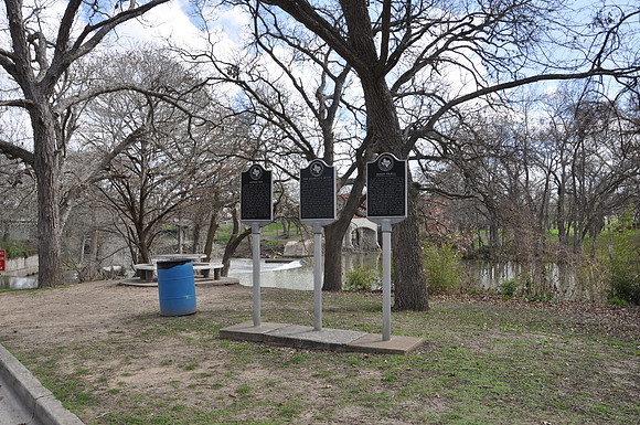
Saffold Dam
Seguin br/Guadalupe County, Texas br/29 33.086' N 97 58.303' W br/br/Text: Named for William Saffold, who owned land here in the mid-1800s, Saffold Dam is typical of many mill dams built during the late 19th and early 20th centuries. Originally a natural rock outcropping, the dam was first improved by Henry Troell in the late 1800s when he added rock to the dam to raise the water level to power a cotton gin. The city of Seguin bought Troell's property in 1907 to further develop the river's hydroelectricity, and subsequent improvements have led to the establishment of a hydroelectric plant on the dam's south side.