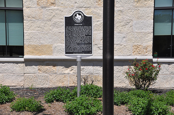
Kerrville
Kerrvillebr/Kerr County, Texasbr/30 02.810' N 99 08.431' Wbr/Directions: Start at the intersection of SH-16 and Main Street. The marker is on the southeast corner of the intersection.br/ br/Text: Kerr County was formally created on January 26, 1856, and named for Republic of Texas soldier and pioneer James Kerr. Among the first settlers in the area was Joshua D. Brown, a veteran of the Battle of San Jacinto. Brown was instrumental in naming the county for his friend James Kerr. The new county seat was named Kerrsville in May 1856 when Brown donated four acres of land for a public square. (The quot;Squot; was later dropped.) Early Kerrville settlers included Anglo-American pioneers and German immigrants. The area became an important cattle raising and shipping point in the 1870s. In an election held on September 7, 1889, the citizens of Kerrville voted to incorporate the city, and a mayor and five aldermen were elected later that month. Joseph A. Tivy served as first mayor. The town continued to grow. A city marshal was soon hired and a volunteer fire department was established in 1891. Also in the 1890s city water works and electric service were instituted. By the mid-20th century agriculture, medical services, and tourism had become the major economic concerns of the city.