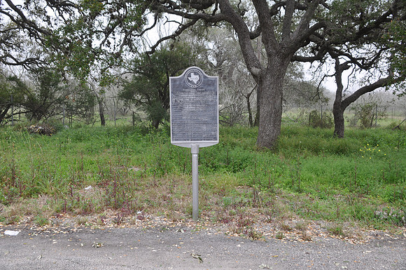
Papalote Creek
Papalotebr/Bee County, Texasbr/28 09.886' N 97 35.630' Wbr/Directions: Start at the intersection of CR-537 and SH-181. Go 300 yars south on SH-181. The marker is on the right (west) side of the road.br/ br/Text: A few yards south passes Papalote Creek, crossed by the fierce Karankawa Indians who found kite-shaped pebbles and named it Papalote, which means quot;kite-shapedquot; or quot;wing-shapedquot;. Along its banks came the leaders of the Power and Hewetson colonists, holding Mexican land grants in the 1830's. On its Rata tributary there is evidence the Mexican Army camped on its way to suppress the Texas Revolution. By 1857 the town of Papalote had emerged. It was the center of entertainment for the county, boasting of a circular dance hall built by cowboys trading steer yearlings at $3 a head for lumber. There were rooster fights, ring tournaments and horse races. In 1886, when the railroad came, the town was booming. After the turn of the century, however, Papalote began to die away. A land company sold lots to settlers from as far away as Hawaii. Expecting to grow citrus fruits, they were disillusioned when the first killing frost doomed the project. Threats of Pancho Villa's raids continued as late as 1916, when women and children hid in a brick schoolhouse. In 1948, Main Street was bypassed by U.S. Highway 181. Today there is no post office--only a rural route for the few remaining households.