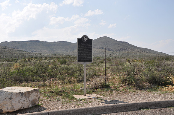
Los Caballos (in core of the Ouachita Structural Belt)
Marathon br/Brewster County, Texas br/30 03.992' N 103 16.467' W br/br/Text: Highly deformed rocks in the Ouachita Fold Belt, a northeasterly trending range, uplifted about 275 to 290 million years ago. The intricate folding is shown by whitish rock bands--called caballos (the Spanish word for horses)--exposed on both sides of this highway. The Ouachita Fold is comparable in age to the uplift that formed the Appalachians in the eastern part of the United States. The northwesterly trending Del Norte-Santiago range (southmost extension of the Rocky Mountains) forms the southwestern skyline. The rocks of the range were deposited in a sea that coverd the Ouachita Fold Belt after erosion had reduced the highlands and a later submergence lowered the area. Santiago Peak (named for a local man who was killed by Indians and buried beneath the peak) is the high, flat-topped mountain to the southwest. It was once a mass of molten magma that cooled and hardened underneath the earth's surface and was uncovered by later erosion. The Del Norte-Santiago range, uplifted and folded 40 to 60 million years ago, is not half the age of the Ouachita Fold. This is a remarkable fusion of "old" and "young" mountains--and is unmatched at any other site in North America.