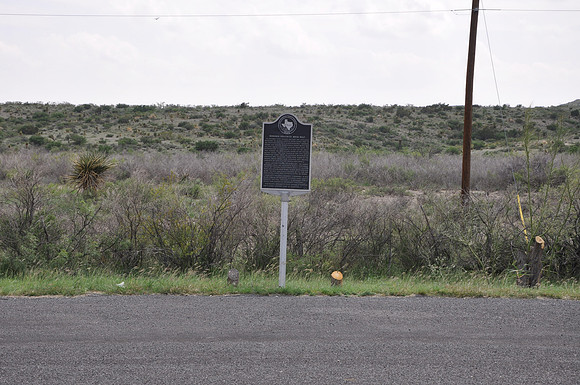
Denuded Ouachita Rock Belt
Marathon br/Brewster County, Texas br/30 12.785' N 102 59.296' W br/br/Text: In highway cuts toward the east are excellent exposures of almost vertical rocks layers--part of the Ouachita Fold Belt, a northeasterly trending folded and faulted mountainous range which was uplifted about 275 to 290 million years ago. The deformation is comparable in age to the uplift that formed the Appalachian Range of the eastern United States. The term "Ouachita" for this earth formation comes from the Ouachita Mountains of Arkansas and Oklahoma. (These were named by the Indians, whose words were rendered into written language by the 16th century French explorers.) In the hillside toward the northeast, the highly deformed strata are overlaid by almost horizontal layers of "younger" rock--formed about 135 million years ago. Erosion wore down the old mountains; and when the area was coverd by the sea, the horizontal layers were deposited on the sea floor. Later uplifting earth movement comparable in age to the forming of the Rocky Mountain range gently elevated this area, exposing it to erosional forces which have shaped the topography seen today. This region abounds in vivid lessons in geology, and is under constant study by scientists.