Thank you for your patience while we retrieve your images.
Taken 23-Nov-11
Visitors 26


25 of 63 photos
Thumbnails
Info
Categories & Keywords

Category:
Subcategory:
Subcategory Detail:
Keywords:Texas Historical Marker, Kimble County Historical Marker, Fort McKavett Fort Clark Military Road
Photo Info

Dimensions4288 x 2848
Original file size6.36 MB
Image typeJPEG
Color spacesRGB
Date taken23-Nov-11 12:56
Shooting Conditions

Camera makeNIKON CORPORATION
Camera modelNIKON D90
FlashFired, auto mode, return light detected
Exposure modeAuto
Exposure prog.Unknown
ISO speedISO 200
Metering modePattern
Digital zoom1x
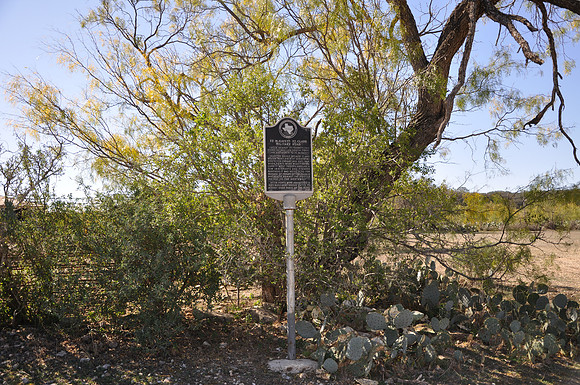
Fort McKavett - Fort Clark Military Road

Fort McKavett - Fort Clark Military Road

Roosevelt
Kimble County, Texas
30 29.286' N 100 03.061' W

Text: From nearby Ft. Terrett, this road in 1852 led south to Ft. Clark and north to Ft. Mckavett. Selected mainly because it had water available, it served as route for freight and mail, 1868, when forts were reactivated. Over it went troops, supplies, a few immigrants and pioneer ranches. It was noted also for passage of forays of Col. Ranald Mackenzie against the hostile indians to the northwest. After forts were abandoned in 1883, ranchers drove cattle to market over parts of the road.