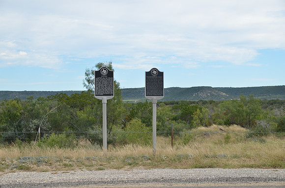
Cloud Point
Junction
Kimble County, Texas
30 29.561' N 99 41.800' W
Text: A landmark for many years for soldiers and others who journeyed along the roads that traversed this terrain, Cloud Point is the name given to the cliff overlooking the Llano River valley and the valley of Johnson Fork Creek. The geographic feature was named for the family of William Johnston Cloud, a Civil War veteran, who purchased property in this part of Kimble County and located his home near this site. Early roads that passed by Cloud Point included the Upper Presidio Road, from Kerrville to Fort McKavett; the Military Road from Fort Terrett to San Antonio; and the transcontinental Old Spanish Trail. No longer on the main route since the 1970s, Cloud Point remains a local point of interest.