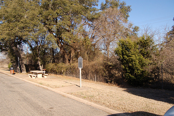
Pinta Trail
Fredericksburg br/Gillespie County, Texas br/30 13.548' N 98 48.667' W br/br/Text: Origin of the Pinta Trail is attributed to nomadic Plains Indian tribes. Early Spanish and Mexican expeditions followed the general route of the trail, which extended from San Antonio de Bexar to the San Saba River near present Menard. A survey by German immigrants in 1845 provided a wagon road over part of the trail, and, after the discovery of gold in California in 1849, the trail was utilized by U.S. Military companies seeking to open new routes to the western states. Use of the trail declined with the advent of railroads in the late 1800s and early 1900s.