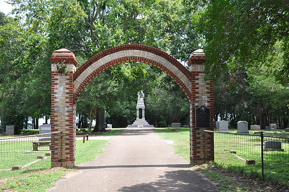
Fort Parker Memorial Park
Groesbeck
Limestone County, Texas
31 32.904' N 96 33.046' W
Directions: Start at the intersection of CR-398 and RR-1245. Go 1.25 miles north on RR-1245. The cemetery is on the left (east) side of the road.
Historical Marker: Site of the grave of victims of the massacre at Fort Parker by Comanche and Kiowa Indians on May 19, 1836, in which Cynthia Ann Parker and others were captured. The trunk of the oak tree under which they were buried still stands, and the grave is marked by a granite slab. (The tree no longer exists.) Also site of state monument to the pioneers erected in 1922 and the graves of other old settlers and veterans of the Texas War for Independence.