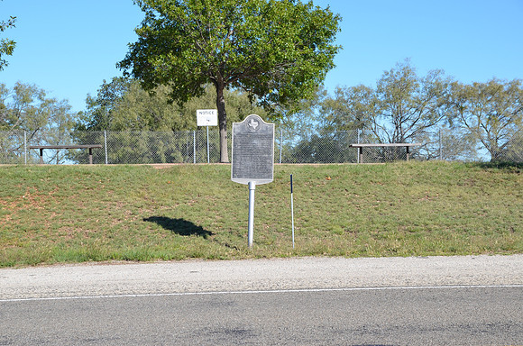
Indian Signaling Grounds
San Saba
San Saba County, Texas
31 12.308' N 98 38.342' W
Text: Heights used from pre-settlement days to 1870s by Comanches and others to send messages over long distances. Smoke once rose from here (Five Mill Hill); Chapel Hill, 2 mi. south; and old community of Sloan in west San Saba County. Tribes wintered at main village near Sloan; burial ground is on Chapel Hill. An early settler recalls Indians peering through cracks in cabin at night while she, children, and friend put ashes on fire and hid. She believed Indians would not enter a dark house. Another time she heard livestock being taken. Many pioneers saw signals on nearby hills. Indians communicated by means of smoke, at times mirrors. Codes were used to confuse enemies. Messages sent news and could gather or disperse tribes. The Comanches had an excellent smoke signal system, also imitated animal cries. These often warned settlers to prepare for attack. In some areas, whites later pre-empted signal grounds for use against the Indians. Mirabeau B. Lamar visited this area in 1837; later, as president of Republic of Texas, he had a forceful Indian policy. On banks of San Saba in 1847, German Emigration Company bought peace from the Comanches for $3,000 worth of beads, trinkets; and in 1850 on Wallace Creek, about 15 mi. southwest, the U.S. signed an Indian treaty.