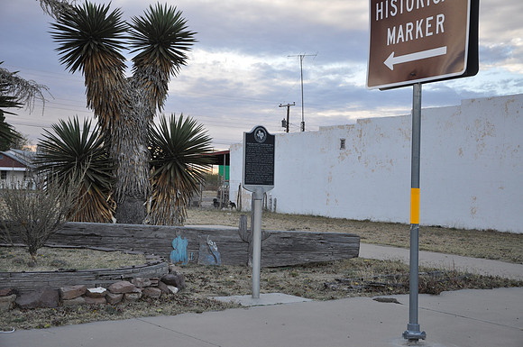
Winkler County Discovery Well
Winkbr/br/Winkler County, Texasbr/31 45.362' N 103 09.397' W br/br/Text: First of 612 Wells in Hendrick Field, a very prolific, 10,000 acre west Texas oil pool. This area, called "Wildcatters' Graveyard", lay on the 30,000 acre T. G. Hendrick ranch. Drillers Roy A. Westbrook amp; Associate leased land at 10 cents an acre. Well arrived dramatically, in great blasts of oil and rock, about midnight, Sept. 3, 1926. Its eventual depth was 3,049 feet. Total production when plugged in 1939 was 235,000 barrels. Data gathered here was vital in future drilling of El Capitan reef lime, a major oil-bearing geologic formation.