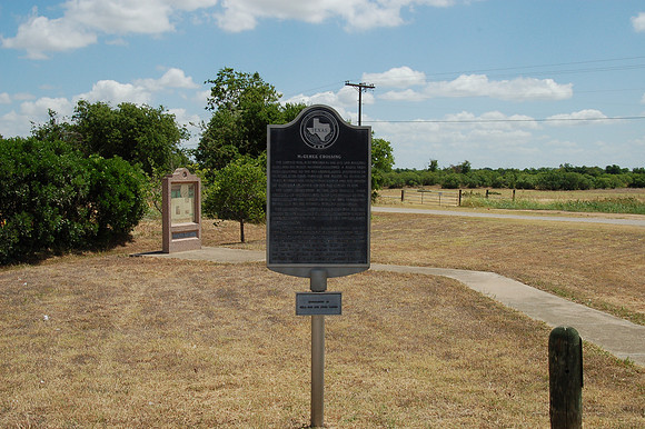
McGehee Crossing
San Marcos br/Hays County, Texas br/29 52.239' N 97 53.778' W br/br/Text: The Camino Real, also known as the Old San Antonio Road and the King's Highway, followed a route from Nacogdoches to the Rio Grande. Louis Juchereau de St. Denis (1676-1744) traveled the route to establish trade between the French in Louisiana and the Spanish of Coahuila Province on the Rio Grande in 1714. The first settlement at the San Marcos River crossing of the road was Villa San Marcos de Neve, established by the Spanish in 1808. It was abandoned by 1812 due to the brewing Mexican revolution. During their colonization efforts in 1820 and 1821, Moses Austin (1761-1821) and his son, Stephen F. Austin (1793-1836), very likely crossed the San Marcos River near this point. Thomas Gilmer McGehee (1810-1890) settled on the east side of the river on a Mexican land grant about 1846. In 1859 his nephew, Charles L. McGehee, Jr. (1837-1929), acquired 1200 acres of land bordered by the Camino Real and the river. Ten years later he sold the land to his cousin, George T. McGehee (1836-1926). Due to the McGehee family's association with this historic site, it became known as McGehee Crossing.