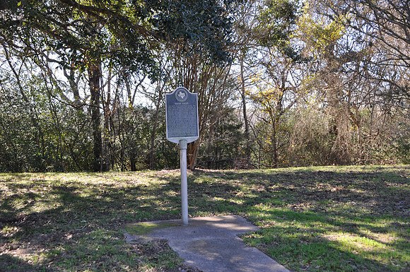
Yegua Creek
Somervillebr/Burleson County, Texasbr/30 19.540' N 96 30.675' Wbr/Directions: Start at the intersection of SH-36 and CR-417. Go 150 yards north on SH-36. The marker is on the left (west) side of the highway in a picnic area.br/ br/Text: In 1690 the Spanish gave the name quot;San Franciscoquot; to this 62-mile Brazos River tributary; but on an 1822 map, Stephen F. Austin, quot;Father of Texasquot;, marked it quot;Yeguaquot;, Spanish for quot;marequot;. Mustang mares and foals then grazed among the Indians on the timbered creek. In 1826, colonist John P. Coles built a mill on the stream. A measure signed in 1837 by Texas President Sam Houston made the Yegua a county boundary. Floods often devastated the area until Lake Somerville harnessed Yegua's waters in 1967. Now a recreation area, the lake and creek benefit crops, wild life, and vacationers.br/ br/Date Photographed: 20-01-04