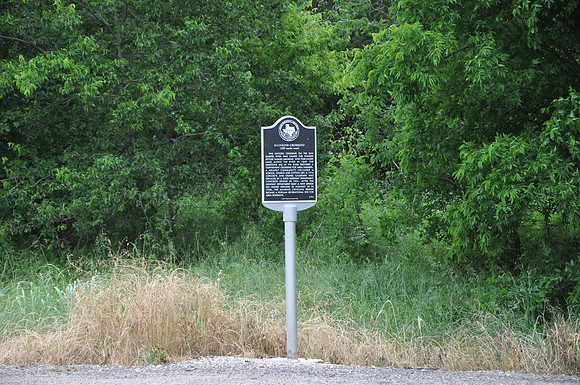
Mankins Crossing
Georgetown br/Williamson County, Texas br/30 38.802' N 97 34.978' W br/br/Text: (100 yards west) This historic crossing on the San Gabriel River was named for pioneer settler Samuel Mankins, who purchased land along the river in 1849. The limestone bed in the river provided a convenient crossing for area farmers. A nearby community included a school, church, and cotton gin. A 1914 concrete and gravel causeway was replaced by a State Highway Department concrete bridge in 1931. After the Highway Department built a new bridge on higher ground at Highway 29 in 1958, the Mankins Crossing Bridge became a popular recreational site for area residents.