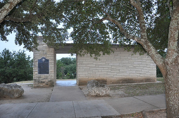
North Fork of the San Gabriel River
Georgetown br/Williamson County, Texas br/30 40.446' N 97 43.428' W br/br/Text: The North Fork of the San Gabriel River, part of the Brazos River system, flows east across Williamson County to join with the Middle and South forks at Georgetown. Abundant fish and wildlife attracted numerous Indian tribes to the areas along the stream in historic times. Named Rio de San Xavier by Spanish explorer and priest Fray Isidro Felix Espinosa in 1716, it was known as the San Gabriel River by the time Williamson County was created in 1848. Anglo settlements along the river in the 1800s led to the establishment of four major crossings which took the names of families living at the sites: Booty, Russell (later Jenkins), Box, and Hunt. Located along the stream near the crossings were homes, mills, schools, churches, cemeteries, postal stations, and a gin. Booty, Russell, and Box Crossings were inundated by the waters of Lake Georgetown, but Hunt Crossing remains above the reservoir. Planned as part of a flood control measure for the Brazos River system, a dam creating Lake Georgetown was completed by the U.S. Army Corps of Engineers in 1979. The lake and adjoining parks and recreational facilities were opened in 1981.