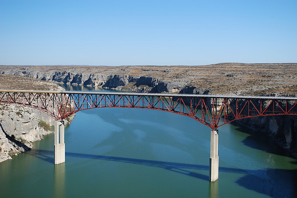
Pecos River High Bridge
Comstock
Val Verde County, Texas
29 42.333' N 101 21.137' W
Text: High canyon walls dominate the last 60 miles of the Pecos River before it enters the Rio Grande. The Southern Pacific Railroad built the first highway bridge to span the river was built one mile down river from here in 1923. Just 50 feet above water, the 1923 bridge was destroyed by floodwaters in 1954. Two temporary low water bridges built nearby in 1954 and 1955 also were destroyed by floodwaters. A new 1,310-feet long bridge was completed here in 1957. At 273-feet above the river it is the highest highway bridge in Texas.